Understand
Define the project extent, source data, intended use and required outputs.
Aerial imagery, 3D mapping and geospatial production for the infrastructure, assets and places your team is building.
From imagery and point clouds to coordinated CAD and GIS deliverables. Build the scope around what your team needs.
A clear view of your project, from above.
Explore capability02Turn overlapping imagery into spatial context.
Explore capability03Structured point clouds. Reviewable terrain.
Explore capability04Connect observed features to usable asset records.
Explore capability05Data that fits the way your team works.
Explore capability06A repeatable workflow for a defined production scope.
Explore capabilityThe value is in what comes next: spatial information your engineering and asset teams can use.
 CAD / GIS FEATURESIllustrative tracing · roads & roof outlines
Define visible features, identifiers and attributes. A shared feature catalogue keeps interpretation connected to your project.
Turn corridor observations into structured asset records for review.
02Connect poles, attachments and route context to deployment planning.
03Prepare road, rail and corridor context for design workflows.
04Coordinate site imagery, terrain and existing-condition information.
05Refresh feature layers and inventories to match your GIS schema.
06Organize terrain and visible infrastructure along sites and corridors.
Agree the standard early. Review the work as it develops. Know what arrives at handover.
Define the project extent, source data, intended use and required outputs.
Review the inputs and confirm acquisition or processing requirements.
Test a representative sample and establish the production rules.
Check the result against agreed criteria and record exceptions.
Hand over coordinated files, check records and revision notes.
Tell us what you’re working on and what your team needs to move forward.
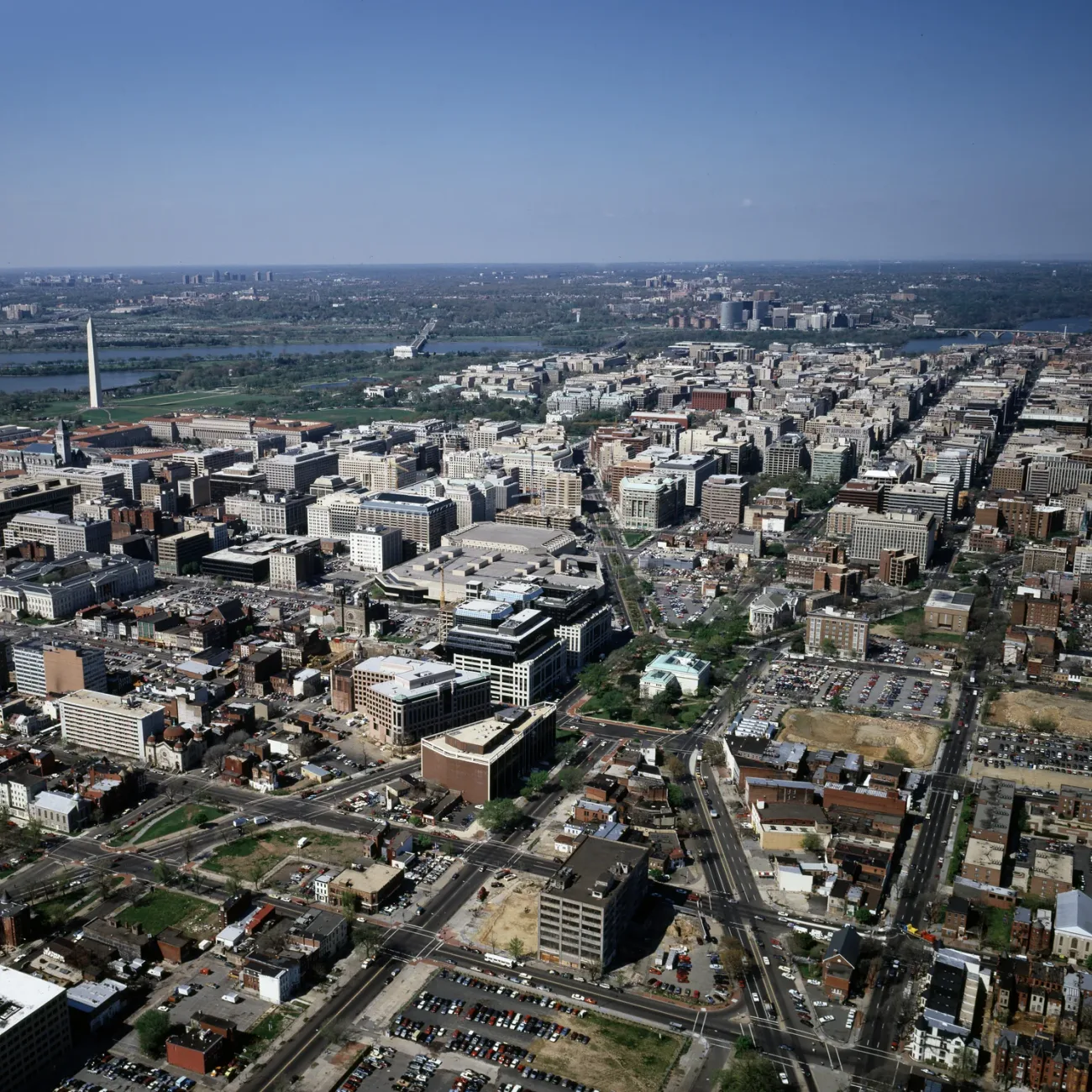
The aerial photograph is a public-domain reference by Carol M. Highsmith / Library of Congress. The overlay illustrates interpretation of visible roads and roof outlines in this photograph. It is not a surveyed dataset, a building footprint layer or an Altivue project example.
